Official Government Website
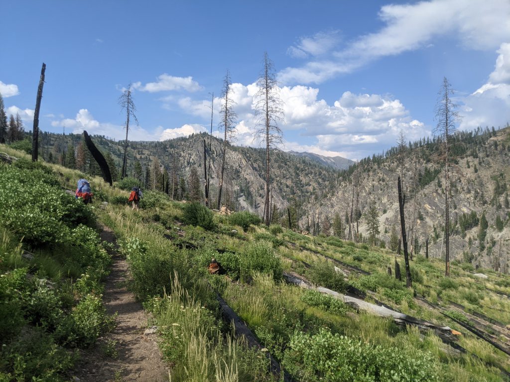
Where to Hike
Two versions of the Idaho Trails App cover all devices:
Advanced is full-featured, usable on PCs, iOS devices, plus Android devices with extended capabilities.
Mobile is configured to function on Android devices of all capabilities.
Users should try the Advanced version first. If a blank screen is encountered when zooming the map in, tap the Go to Mobile App button to switch to the Mobile version.
Please provide feedback here if you encounter any issues with app function.

Hiking on Rangeland
Idaho’s public lands allow for many uses, including ranching. To learn how to recreate responsibly around livestock on public land, please read these ten tips and visit the Idaho Rangeland Resources Commission website.
Idaho summers are often characterized by wildfires and poor air quality. There are several resources you can use to find places to recreate safely and determine whether it is safe to have a campfire.
- Check air quality information from the Idaho Department of Environmental Quality.
- Check for local burn bans from the Idaho Department of Environmental Quality.
- Check for fire restrictions from the Idaho Department of Lands.
- Check for active wildfires from the Idaho Department of Fish and Game.
- Stay off muddy trails. Using trails while they are muddy damages the tread and can result in unsafe conditions for future users.
- Stay on designated trails. Taking shortcuts or using unofficial trails leads to excess resource damage.
- Ride on the proper trails designated for your use type. Do your research ahead of time (check out the Idaho Trails Map!) so you know where to go.
- Share the trails. Be prepared to encounter others on the trail – whether it be walkers, mountain bikers, runners, stock users, or off-highway vehicle users.
- Mountain bikers should yield to foot-traffic and stock users. Foot-traffic should yield to stock users.
- Motorized users should yield to non-motorized users.
- When approaching stock users, remove your helmet, get to the downhill side of the trail if possible, and speak calmly to let the stock know you’re human.
- Be kind, courteous, and respectful. Remember, we are all out on the trails to have a good time. BE a good trail ambassador and go out of your way to be courteous to others.
- Do your best to Leave No Trace.
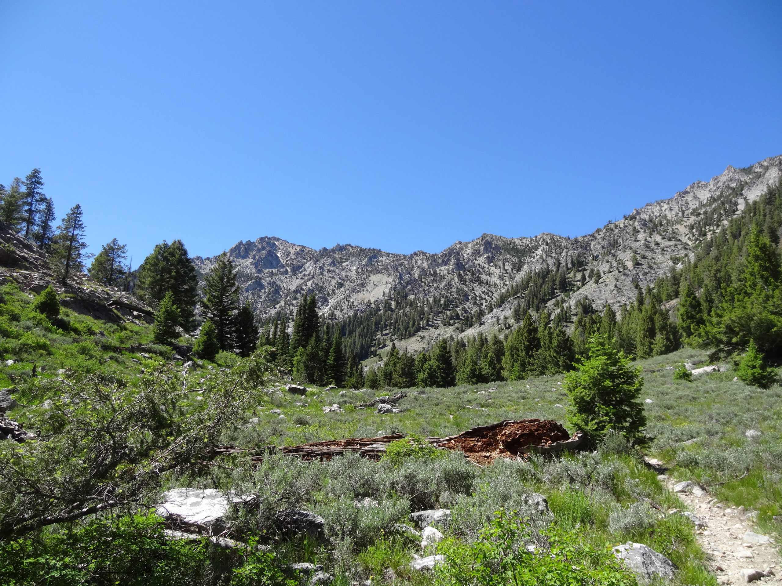
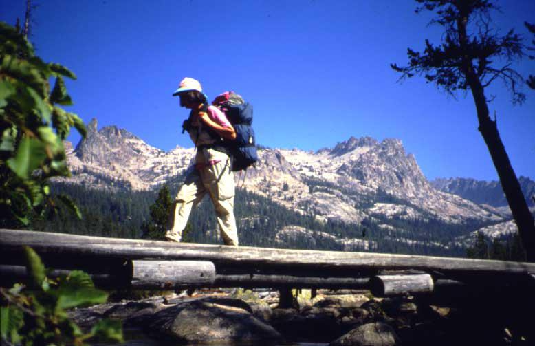
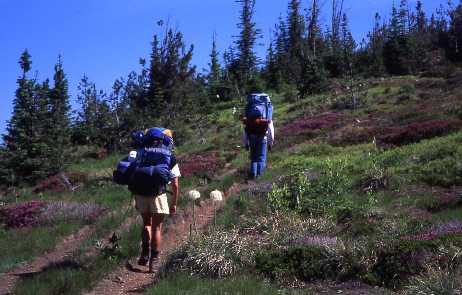
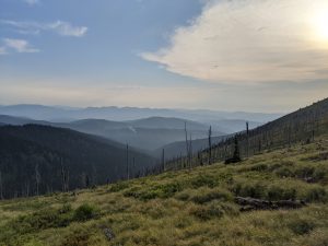
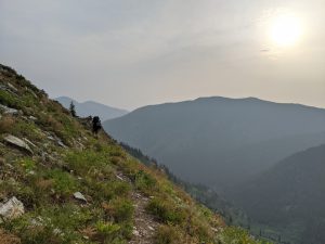
The 995.6-mile Idaho Centennial Trail weaves through some of the most scenic portions of Idaho’s wild country, from high desert canyonlands in southern Idaho to wet mountain forests in northern Idaho. The entirety of the Idaho Centennial Trail can be utilized by thru-hikers, backpackers, day hikers, and stock users. Some sections can be accessed by off-highway vehicles and mountain bikes.
Designated the official state trail during Idaho’s Centennial year in 1990, the southern portion of the trail begins at 6,000 feet near Murphy Hot Springs on the Idaho/Nevada border. Heading north, the trail descends to 2,500 feet at the Snake River near Glenns Ferry. The trail yo-yos up and down through the mountains of Central Idaho between 3,000 and 9,000 feet. At its low point (1,900 feet above sea level) the trail skirts the Selway River near the Moose Creek Guard Station then climbs again to high points up to 6,000 feet in the Cabinet and Selkirk Mountains as the trail approaches the northern boundary.
The ICT crosses three historic trails along its route: the Oregon Trail near the Snake River, the Lewis and Clark Trail (on the north ridge above the Lochsa River) and the alternative route crosses the Nez Perce Trail. Those who travel the entire length of the trail will cross through 11 national forests and about 100 miles of Bureau of Land Management land in the high desert.
Three wilderness areas can be explored on the trail: the Sawtooth Wilderness, the Frank Church-River of No Return Wilderness and the Selway-Bitterroot Wilderness for a distance of more 300 miles. The trail also courses along the famed Middle Fork of the Salmon River (if you like to fish, you’ve got to bring your fishing pole) and the Selway, both of which were among the original eight National Wild and Scenic Rivers because of their purity, beauty and wild character (no dams from source to mouth). North of the Selway-Bitterroot, the trail hop-scotches along the Idaho-Montana border on the backbone of the Bitterroot Mountains for more than 85 miles on high ridges. Dozens of high mountain lakes along this portion of the route will beckon the hard-core angler. There is also an alternative route available that skirts the wilderness areas.
The Idaho Centennial Trail passes through some of Idaho’s most spectacular country. The route traverses a variety of terrain including sagebrush desert, flower-filled alpine meadows, dense cedar forests, six major river canyons and numerous crystal clear mountain takes. Many unique geological formations, such as caves and hot springs, can also be seen from the trail. Along the way you will find Idaho as it was 100 years ago. Abandoned homesteads and cabins, old mines, logging camps and a restored, old time ranger station are many of the interesting sites along the route.
The Centennial Trail primarily crosses public land, but there are small segments of private land along the way. Permission to cross or camp on private land must be obtained from the land owner. The trail is cooperatively managed by the Idaho Department of Parks and Recreation, which provides overall trail coordination; the Bureau of Land Management, which manages of southern section of trail; and the U. S. Forest Service, which manages the middle and northern sections of the trail and private and other public land agencies allow trail users to cross their property for continuity.
More Information
- To learn more about the Idaho Centennial Trail, check out The Hiker’s Guide: Idaho Centennial Trail by Lisa and Jeremy Johnson. It is the most comprehensive resource for anyone interested in exploring the trail.
- View an interactive topographical map
- View a downloadable trail overview map that includes contact information for US Forest Service and BLM offices along the way
- Download .zip file with GPS coordinates
- Download a .pdf with detailed information about the trail (signage, wildlife, access issues, re-supply points, history and more)
- Idaho Centennial Trail blog with lots of information including updates from current ICT hikers
- Idaho Public Television piece about the Centennial Trail
For more information, contact inquiry@idpr.idaho.gov
More than 60% of Idaho is public and managed by the US Forest Service and Federal Bureau of Management. There are trails for everyone whether you’re looking for a short hike for the whole family or a once-in-a-lifetime hiking experience.
Click below to find information about hiking on federal land:
- Boise National Forest
- Payette National Forest
- Sawtooth National Forest
- Caribou-Targhee National Forest
- Salmon-Challis National Forest
- Nez Perce – Clearwater National Forests
- Idaho Panhandle National Forests
- Sawtooth National Recreation Area
- Continental Divide National Scenic Trail
- Pacific Northwest National Scenic Trail
- Hells Canyon National Recreation Area
- Hagerman Fossil Beds National Monument
- Craters of the Moon National Monument and Preserve
- Ice Age Floods National Geologic Trail
- California National Historic Trail
- Lewis and Clark National Historic Trail
- Nez Perce (Nee-Me-Poo) National Historic Trail
- Oregon National Historic Trail
- Idaho National Recreation Trails
- Idaho Bureau of Land Management