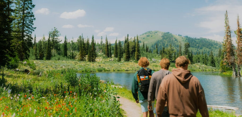
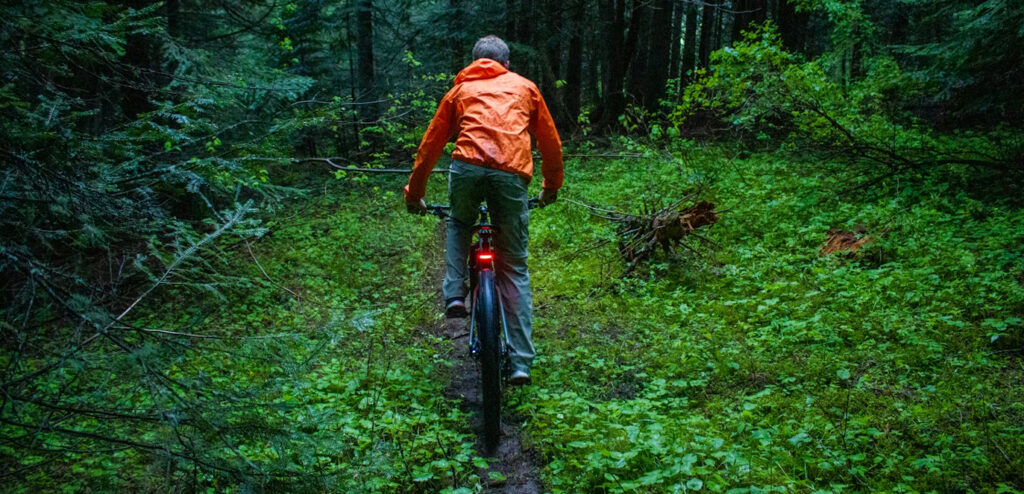
From rugged mountain paths and scenic river walks to snow-covered backcountry routes and off-road adventures, Idaho’s trails offer endless ways to explore the outdoors. Whether you enjoy hiking, mountain biking, horseback riding, cross-country skiing, snowmobiling, OHV riding, trail running, or simply taking in the scenery, Idaho State Parks provide year-round access to unforgettable experiences across the state. Discover trails for every skill level and season, and find your next outdoor adventure waiting just around the bend.
Hike Idaho
Experience Idaho one step at a time on trails that wind through forests, mountains, canyons, deserts, and lakeshores. Whether you’re looking for a peaceful nature walk, a family-friendly day hike, or a challenging backcountry trek, Idaho’s parks and recreation areas offer countless opportunities to explore the state’s natural beauty on foot. Along the way, you may encounter wildlife, waterfalls, scenic overlooks, and unforgettable views unique to every region of Idaho.
| Trail Name | Link |
|---|---|
| Ashton to Tetonia Trail Map | View PDF |
| Hiking Trails at Bruneau Dunes | View PDF |
| Hiking Trails at Castle Rocks | View PDF |
| Hiking Trails at City of Rocks | View PDF |
| Year-Round Hiking at Coeur d’Alene’s Old Mission | View PDF |
| Eagle Island Trail Map | View PDF |
| Farragut Summer Trails | View PDF |
| Farragut Winter Trails | View PDF |
| Harriman Trail Map | View PDF |
| Year-Round Hiking at Hells Gate | View PDF |
| Henry’s Lake Trail Map | View PDF |
| Heyburn South Side Trails | View PDF |
| Heyburn North Side Trails | View PDF |
| Cascade Winter Trails | View PDF |
| Cascade Summer Trails | View PDF |
| Year-Round Hiking at Lake Walcott | View PDF |
| Land of Yankee Fork, Challis Bison Kill Site Interpretive Trail | View PDF |
| Land of Yankee Fork, Historic Mining District Trails | View PDF |
| Year-Round Hiking at Lucky Peak: Discovery | View PDF |
| Year-Round Hiking at Lucky Peak: Sandy Point | View PDF |
| Hiking at Massacre Rocks | View PDF |
| Ponderosa Summer Trails – North Beach | View PDF |
| Ponderosa Summer Trails | View PDF |
| Ponderosa Winter Trails | View PDF |
| Priest Lake Summer Trails: Indian Creek | View PDF |
| Priest Lake Summer Trails: Lionhead | View PDF |
| Round Lake Trail Map | View PDF |
| Year-Round Hiking at Thousand Springs: Box Canyon | View PDF |
| Year-Round Hiking at Thousand Springs: Kelton Trail | View PDF |
| Three Island Crossing Trail Map | View PDF |
| Trail of the Coeur d’Alenes Map (Overview) | View PDF |
| Year-Round Hiking at Winchester Lake | View PDF |
| Ashton to Tetonia Trail | Link to park page |
| Coeur d’Alene Parkway | Link to park page |
| Idaho City Backcountry | View PDF |
| Idaho Centennial Trail | View Map |
| Trail of the Coeur d’Alenes | Link to park page |
Become an Idaho Trails Supporter
Support the trails you love and help keep Idaho's outdoor recreation accessible for everyone. Your contribution makes a difference.
Learn MoreJump on Your Bike
From smooth paved pathways to rugged singletrack adventures, Idaho offers biking opportunities for riders of all ages and skill levels. Cruise through scenic parks, tackle mountain terrain, or enjoy leisurely rides alongside rivers and lakes. Many trail systems are designed for both recreation and adventure, giving cyclists a chance to experience Idaho’s landscapes in a fun and active way. Be sure to check trail conditions and difficulty levels before heading out.
- City Of Rocks
- Eagle Island State Park
- Farragut State Park
- Harriman State Park
- Hells Gate State Park
- Henrys Lake State Park
- Heyburn State Park
- Lake Cascade State Park
- Land of the Yankee Fork State Park
- Massacre Rocks State Park
- Mary McCroskey State Park
- Priest Lake State Park
- Ponderosa State Park
- Round Lake State Park
- Winchester State Park
Road biking in and around Idaho State Parks
Heyburn State Park – Camp at Heyburn and spend a week riding the bike paths of northern Idaho that reach from one side of the state to the other.
Ponderosa State Park – Take off from Ponderosa State Park to access hard path trails in and around the park.
Lucky Peak State Park – Pack a picnic and ride from downtown Boise to Lucky Peak State Park on the famous Greenbelt.
2 States. 1 River. 206 Miles.
The 206 mile water trail along the Snake River in Southwest Idaho and Eastern Oregon was created to serve the communities along its banks, and in its watershed. It provides opportunities for people to explore, respect and enjoy our region’s natural and cultural heritage. A water trail is a water route that provides recreational and educational opportunities for motorized and non-motorized boaters and commercial opportunities for river communities. Parks, historical sites, trails, towns, counties, recreational retailers, museums, tourism-based organizations, educational agencies, community members and recreationists from Glenn’s Ferry to Farewell Bend are all integral parts of our Water Trail.

What is a Water Trail?
Water trails are boat routes suitable for canoes, rafts and kayaks as well as recreational motorized watercraft. Like pedestrian, equestrian and bicycle trails, water trails are corridors connecting recreational destinations. Water trail amenities include river access sites, boat launches, day-use and fishing areas, and campsites. In addition to recreation, water trails provide venues for educational experiences about the natural and cultural history, economic development, and community of the regions they traverse.
Water trails vary from short shoreline routes to loops around lakes and lagoons. They may stretch hundreds of river miles across multiple states, or they may follow ocean coastlines and connect with maritime ports and coastal islands. Regardless of length or configuration, water trails are valuable assets to cities and counties, providing recreational, educational and economic opportunities for locals and visitors alike. Water trails help people discover new perspectives about their watersheds and communities, building sense of place and raising awareness of watershed stewardship. Thriving water trails serve as economic engines for the communities they connect, connecting recreational visitors to opportunities for locally-driven tourism.
Trail Maps
OHV (Off-Highway Vehicle) Trails
Idaho’s diverse terrain makes it a premier destination for off-highway vehicle recreation. From forest service roads and desert trails to mountain routes and open riding areas, OHV enthusiasts can explore miles of scenic terrain throughout the state. Whether you ride an ATV, UTV, dirt bike, or other off-road vehicle, Idaho offers opportunities for both family-friendly rides and more challenging backcountry adventures. Always ride responsibly, stay on designated trails, and check local regulations and trail conditions before heading out.
Trail Maps
Off-Highway Vehicle Trail Maps
- Land of Yankee Fork State Park, Bayhorse Townsite (all routes)
- McCroskey State Park (all routes)
- Danskin OHV Area, ATV Trails view (motorcycle layer removed)
- Owyhee Front UTV Routes (motorcycle and <50″ removed)
Idaho Trails App
To find OHV trails across the state visit IDPR’s Idaho Trails App. Plan your routes from your PC or mobile device, filter the map to show only the types of routes you want to see, then create custom georeferenced map files (GeoPDFs) for offline mobile navigation or print maps to paper
Learn MoreCross-Country (XC) Skiing in Idaho
When winter arrives, Idaho transforms into a snowy playground for cross-country skiing enthusiasts. Glide through quiet forests, open meadows, and groomed trail systems while enjoying the peaceful beauty of Idaho’s winter landscapes. Whether you prefer classic skiing or skate skiing, trails throughout the state provide opportunities for beginners and experienced skiers alike to stay active and connected to the outdoors during the colder months.
Explore Idaho on a Snowmobile
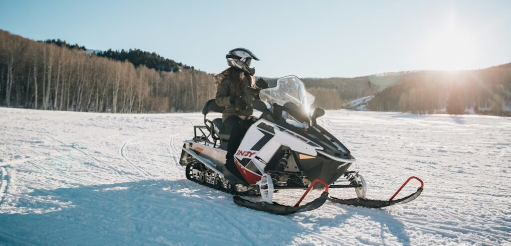
Idaho is home to some of the most exciting snowmobiling terrain in the West, with miles of groomed and backcountry trails waiting to be explored each winter. Ride through snow-covered forests, across mountain passes, and into breathtaking alpine landscapes that are only accessible during the snowy season. Whether you’re seeking a scenic ride or a high-adrenaline adventure, Idaho’s snowmobile trails offer unforgettable winter recreation opportunities for riders of all experience levels.
Trail Maps
Idaho Snowmobile Trails
Horseback Trails
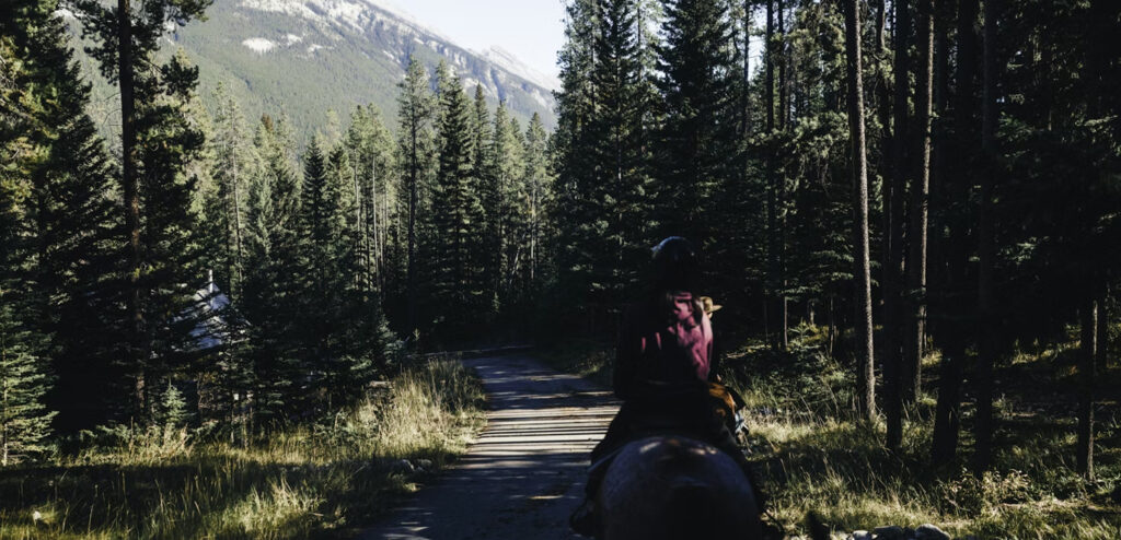
Explore Idaho’s scenic backcountry the traditional way — from the saddle. Horse-friendly trails offer riders a unique opportunity to experience wide-open spaces, mountain views, forests, and remote landscapes at a slower pace. Many parks and recreation areas provide trails suitable for horseback riding, allowing equestrians to enjoy Idaho’s natural beauty while creating memorable outdoor adventures with family and friends.
Trail Maps
Horseback Trail Maps
Tread Lightly
Join a nationwide community of off-roaders committed to keeping trails open, clean, and rideable for future generations.
Learn MoreThe Snake River Water Trail
2 States. 1 River. 206 Miles.
The 206 mile water trail along the Snake River in Southwest Idaho and Eastern Oregon was created to serve the communities along its banks, and in its watershed. It provides opportunities for people to explore, respect and enjoy our region’s natural and cultural heritage. A water trail is a water route that provides recreational and educational opportunities for motorized and non-motorized boaters and commercial opportunities for river communities. Parks, historical sites, trails, towns, counties, recreational retailers, museums, tourism-based organizations, educational agencies, community members and recreationists from Glenn’s Ferry to Farewell Bend are all integral parts of our Water Trail.

What is a Water Trail?
Water trails are boat routes suitable for canoes, rafts and kayaks as well as recreational motorized watercraft. Like pedestrian, equestrian and bicycle trails, water trails are corridors connecting recreational destinations. Water trail amenities include river access sites, boat launches, day-use and fishing areas, and campsites. In addition to recreation, water trails provide venues for educational experiences about the natural and cultural history, economic development, and community of the regions they traverse.
Water trails vary from short shoreline routes to loops around lakes and lagoons. They may stretch hundreds of river miles across multiple states, or they may follow ocean coastlines and connect with maritime ports and coastal islands. Regardless of length or configuration, water trails are valuable assets to cities and counties, providing recreational, educational and economic opportunities for locals and visitors alike. Water trails help people discover new perspectives about their watersheds and communities, building sense of place and raising awareness of watershed stewardship. Thriving water trails serve as economic engines for the communities they connect, connecting recreational visitors to opportunities for locally-driven tourism.
Trail Etiquette
Stay off muddy trails. Using trails while they are muddy damages the tread and can result in unsafe conditions for future users.
Stay on designated trails. Taking shortcuts or using unofficial trails leads to excess resource damage.
Ride on proper trails for your use type. Do your research ahead of time (check out the Idaho Trails Map!) so you know where to go.
Share the trails. Be prepared to encounter others — walkers, mountain bikers, runners, stock users, or off-highway vehicle users.
Be kind, courteous, and respectful. We are all out on the trails to have a good time. Be a good trail ambassador and go out of your way to be courteous to others.
Leave No Trace. Do your best to leave trails cleaner than you found them.
Right-of-Way on Trails
When approaching stock users: remove your helmet, get to the downhill side of the trail if possible, and speak calmly to let the stock know you’re human.
Idaho’s public lands allow for many uses, including ranching. To learn how to recreate responsibly around livestock on public land, please read these ten tips and visit the Idaho Rangeland Resources Commission website.