 Official Government Website
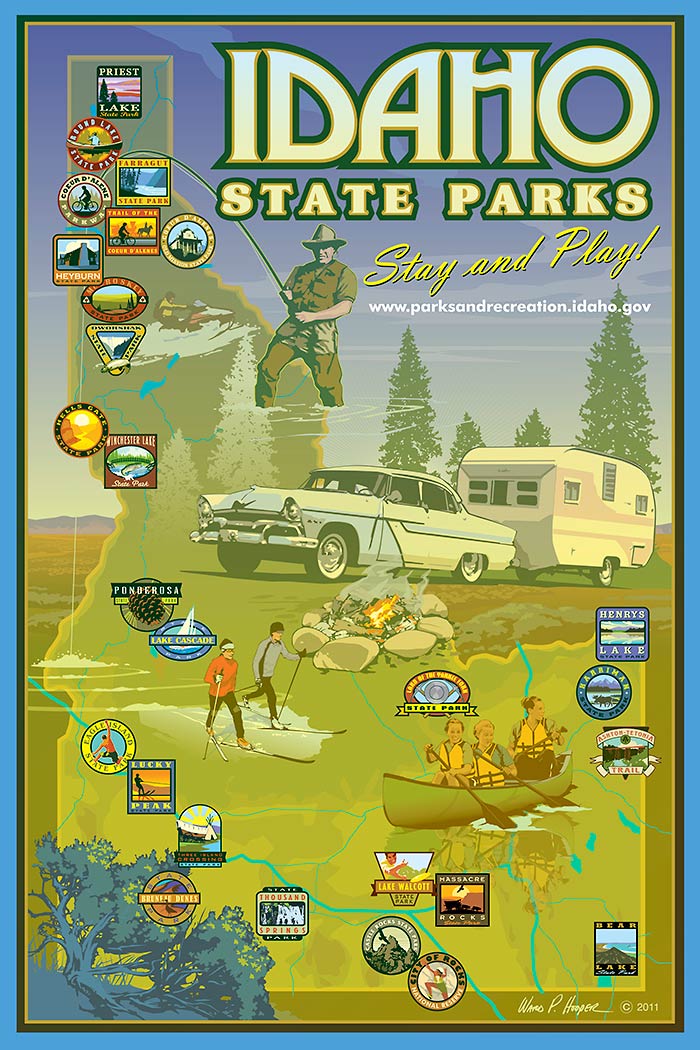
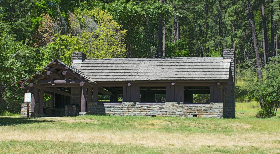

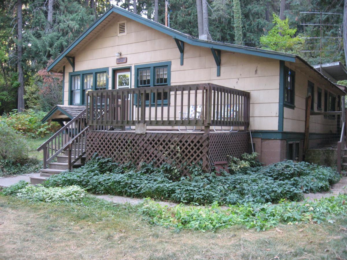
Created in 1908, Heyburn State Park is the oldest park in the Pacific Northwest. Towering Ponderosa pines give way to flower-filled meadows and placid waters. Visitors can enjoy the peaceful serenity of cottages, cabins, and campsites, and admire the work of the Civilian Conservation Corps, who built many of the park’s iconic buildings in the 1930s.
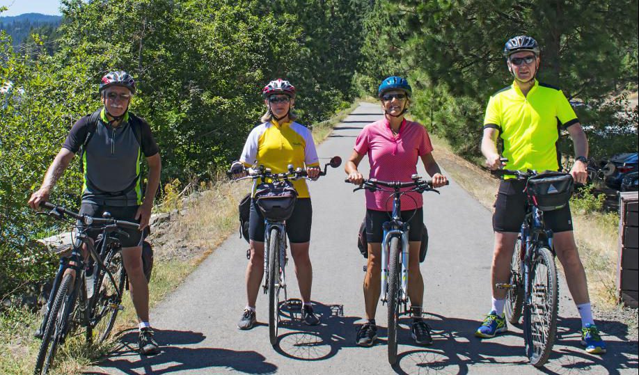
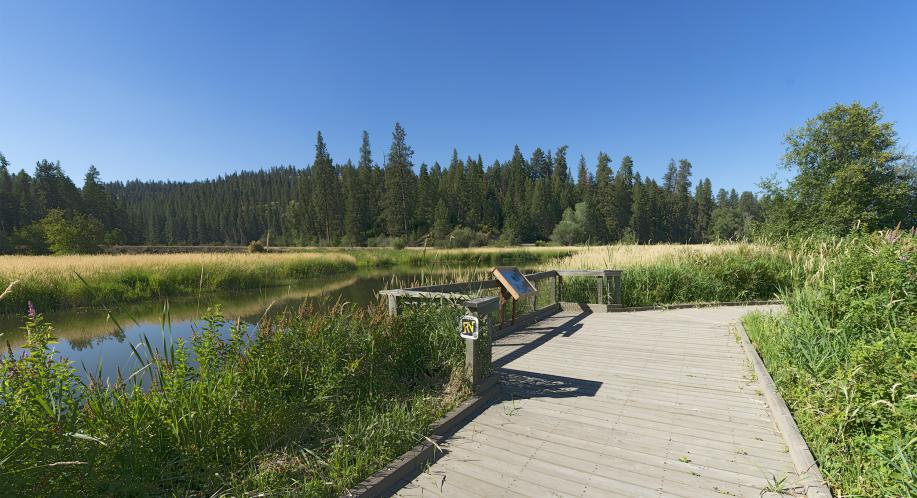
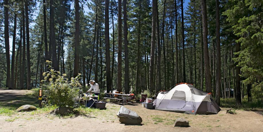
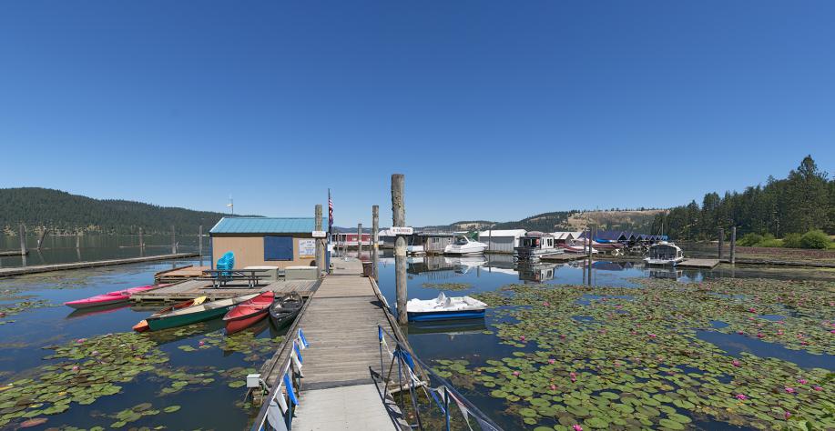
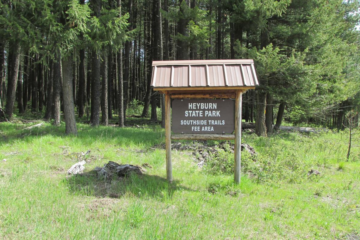
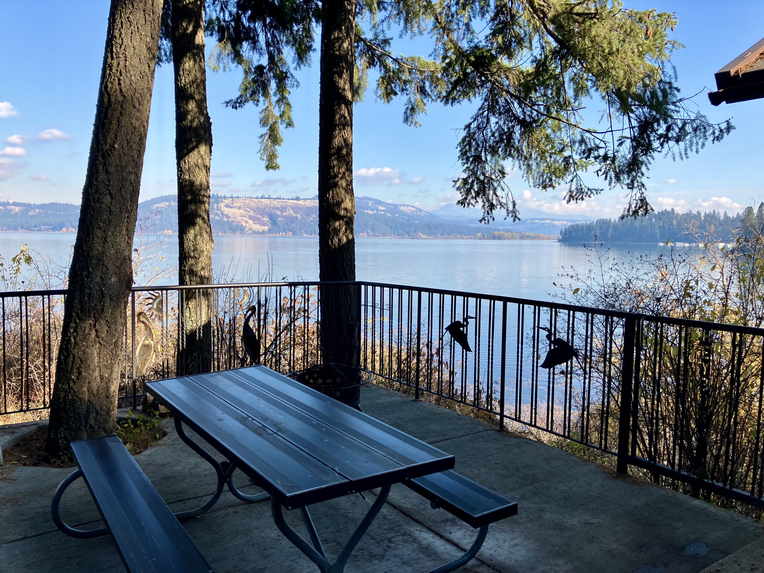
Comprised of about 5,744 acres of land and 2,332 acres of water, Heyburn State Park is a paddler and pedaler paradise. Miles of trails await you — whether you’re a hiker, cyclist, or horseback rider. Bring your own boat or rent a kayak, canoe, or stand-up paddleboard and explore three lakes: Chatcolet, Benewah, and Hidden. The shadowy St. Joe River winds along the park’s eastern edge, while the famous Trail of the Coeur d’Alenes runs directly through the park.
Learn more about Heyburn State Park by watching an informative video.
Heyburn History
The Coeur d’Alene Indians were the first inhabitants of what is now Heyburn State Park. The lakes provided an abundance of fish and waterfowl, while the timbered slopes and open meadows were prime habitat for deer, bear, and upland birds.
Heyburn State Park was created from the Coeur d’Alene Indian Reservation by an act of Congress on April 20, 1908. The deed, signed by President William Howard Taft, granted 5,744 acres of land and 2,332 acres of water to the State of Idaho. The park was named in honor of U.S. Senator W.B. Heyburn.
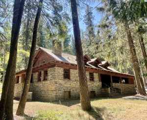
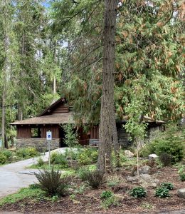
Much of the early construction was performed by the Civilian Conservation Corps (CCC). Between 1934 and 1941, the CCC built roads, trails, bridges, campgrounds, picnic areas, and the Rocky Point Lodge. Many of these structures are still in use today, standing as proud testaments to the craftsmanship and dedication of the CCC workers.
- Hike
- Bike
- Horse
- ADA Boat Ramp
- ADA Cabin
- ADA Playground
- ADA Restroom
- Amphitheater
- Boat Ramp/Launch
- Boat Rental (Non-Motorized)
- Charcoal Grills
- Dump Station
- Electricity
- Equestrian Campsites
- Fire Rings
- Firewood Sales
- Flush Toilets
- Full-service Park Store with Gasoline
- Group Picnic Shelter
- Indoor Restrooms
- Indoor Showers
- Kayak Rental
- Marina
- Paddleboard Rental
- Picnic Areas
- Swimming – Lake/River
- Vault Toilets
- Water – Drinking


General Accommodations
- Cabins
- RV Campsites
- Tent Campsites
General Information
Heyburn State Park Lease Agreements & Appraisals
Downloads
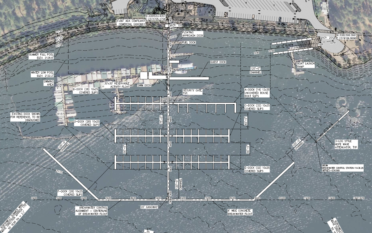
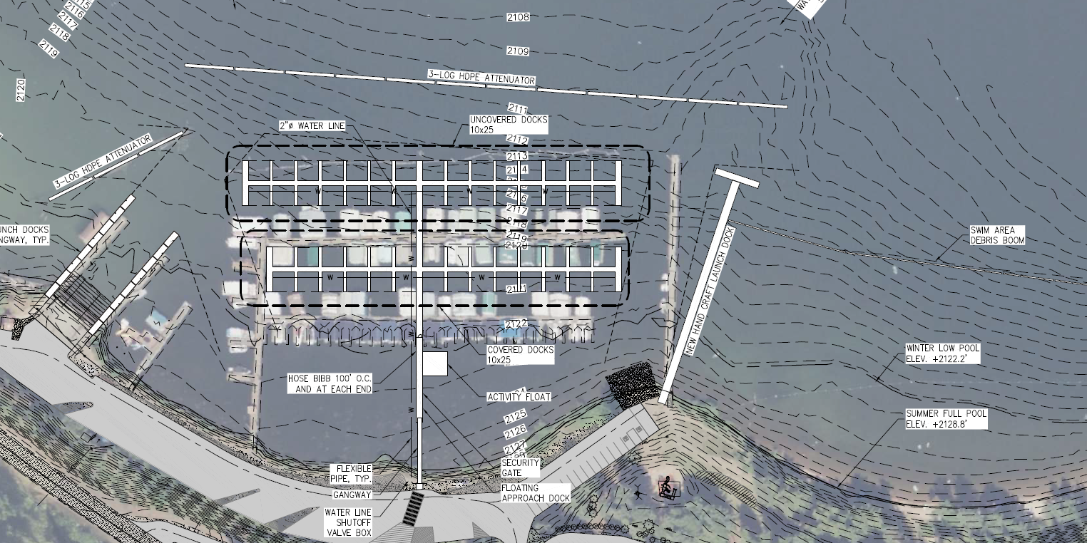
Chatcolet Marina Info
No additional seasonal information listed.