 Official Government Website
Heyburn State Park
PARK UPDATE
Attention:
Power is Out Due to the recent Extreme Winds. Restoration time is unknown. Phone lines are down.
To contact the park, please email HEY@idpr.idaho.gov
Hiking trails and the Trail of the Couer d’Alenes are closed at this time.
Please allow us time to restore Heyburn to its expected condition.
Winter 2025/2026:
Nov 1st: All campsites are closed for the winter season
Cabins and Cottages are reservable year-round.
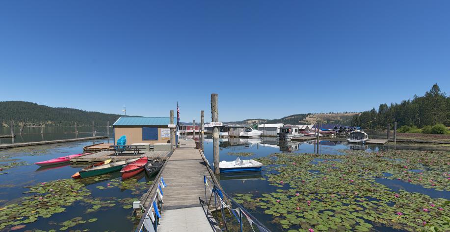
If you want a cozy winter getaway, we are here for you! Have a great winter, and we will see you Spring 2026 at the grand opening of the Chatcolet Marina!
Park Reservations
Additional Links

Contact the Park
Street Address:
Plummer, ID 83851
Mailing Address:
Phone:
Hours of Operation:
Upcoming Events
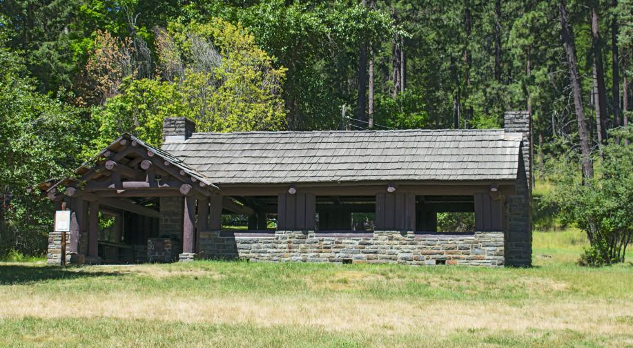
Created in 1908, Heyburn State Park is the oldest park in the Pacific Northwest. Towering Ponderosa pines give way to flower-filled meadows and placid waters. Visitors can enjoy the peaceful serenity of cottages, cabins, and campsites, and admire the work of the Civilian Conservation Corps, who built many of the park’s iconic buildings in the 1930s.
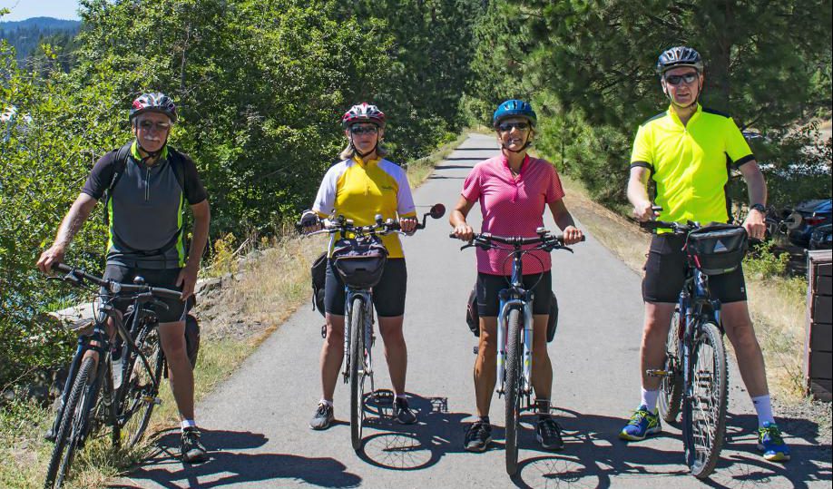
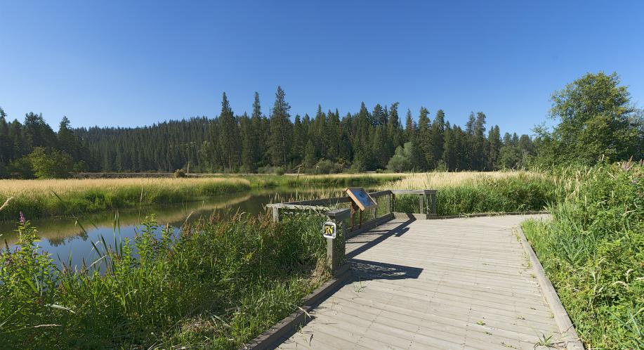
Comprised of about 5,744 acres of land and 2,332 acres of water, Heyburn State Park is a paddler and pedaler paradise. Miles of trails await you — whether you’re a hiker, cyclist, or horseback rider. Bring your own boat or rent a kayak, canoe, or stand-up paddleboard and explore three lakes: Chatcolet, Benewah, and Hidden. The shadowy St. Joe River winds along the park’s eastern edge, while the famous Trail of the Coeur d’Alenes runs directly through the park.
Learn more about Heyburn State Park by watching an informative video.
Heyburn History
The Coeur d’Alene Indians were the first inhabitants of what is now Heyburn State Park. The lakes provided an abundance of fish and waterfowl, while the timbered slopes and open meadows were prime habitat for deer, bear, and upland birds.
Heyburn State Park was created from the Coeur d’Alene Indian Reservation by an act of Congress on April 20, 1908. The deed, signed by President William Howard Taft, granted 5,744 acres of land and 2,332 acres of water to the State of Idaho. The park was named in honor of U.S. Senator W.B. Heyburn.
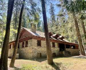
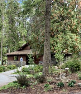
Much of the early construction was performed by the Civilian Conservation Corps (CCC). Between 1934 and 1941, the CCC built roads, trails, bridges, campgrounds, picnic areas, and the Rocky Point Lodge. Many of these structures are still in use today, standing as proud testaments to the craftsmanship and dedication of the CCC workers.
- Hike
- Bike
- Horse
- ADA Boat Ramp
- ADA Cabin
- ADA Playground
- ADA Restroom
- Amphitheater
- Boat Ramp/Launch
- Boat Rental (Non-Motorized)
- Charcoal Grills
- Dump Station
- Electricity
- Equestrian Campsites
- Fire Rings
- Firewood Sales
- Flush Toilets
- Full-service Park Store with Gasoline
- Group Picnic Shelter
- Indoor Restrooms
- Indoor Showers
- Kayak Rental
- Marina
- Paddleboard Rental
- Picnic Areas
- Swimming – Lake/River
- Vault Toilets
- Water – Drinking
Equestrian Access
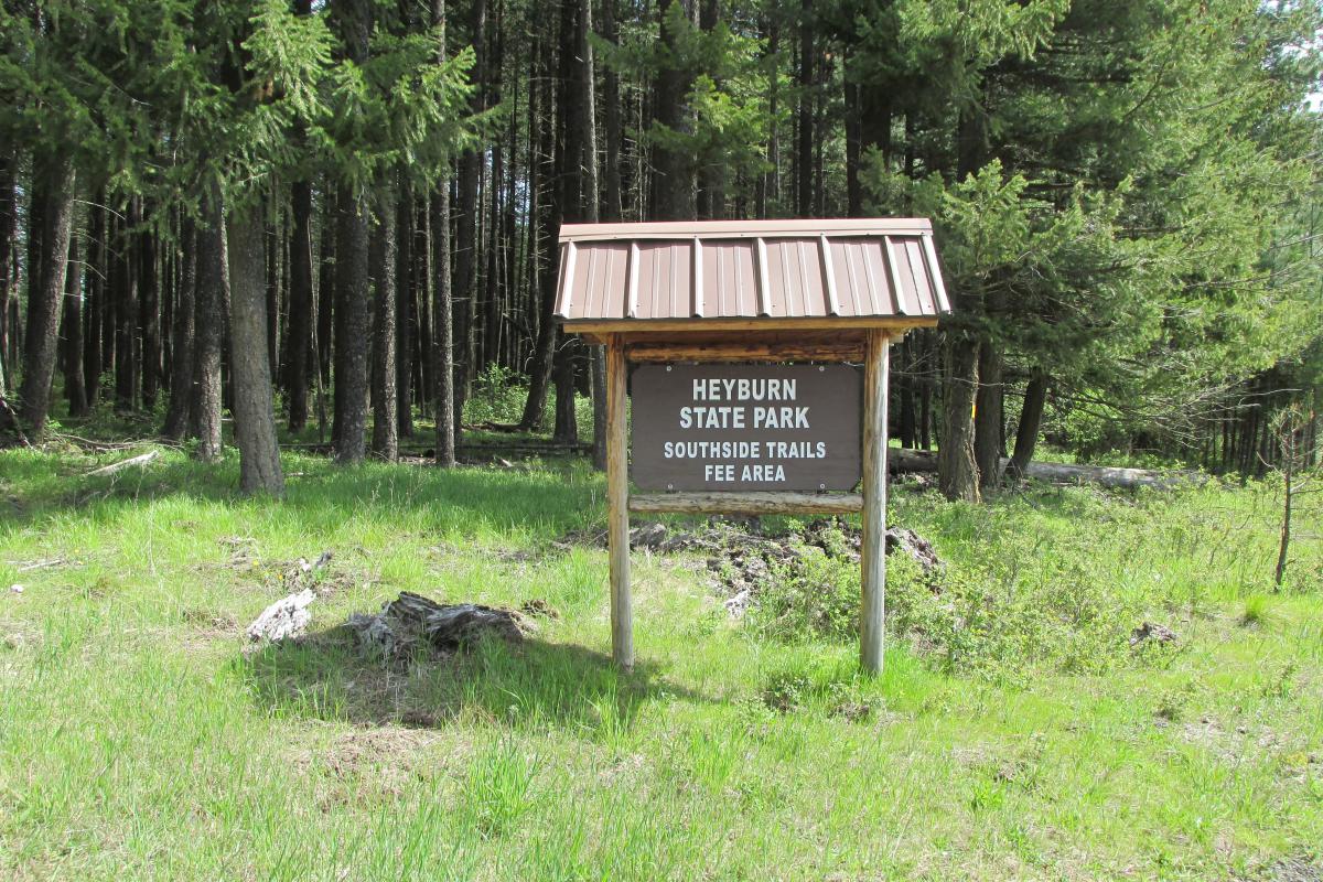
Heyburn State Park offers world-class equestrian opportunities. The list below outlines trail access within the South Side Trail System, a multi-use trail system.
All of the trails in the South Side system begin at the South Side trailhead (off Parkside Rd.), with the exception of the Cedar Loop. There are four loops that are all connected Scout Out, Gandy Dancer, Rocky Top and Ponderosa. From the Cedar Loop you can access Rocky Top and the rest of the trail system. To travel the entire system takes 6 to 7 hours depending on your speed and energy. There are several places on the route to stop for lunch with tables and awesome views of Chatcolet and Benewah lakes. All distances are approximate.
Camping
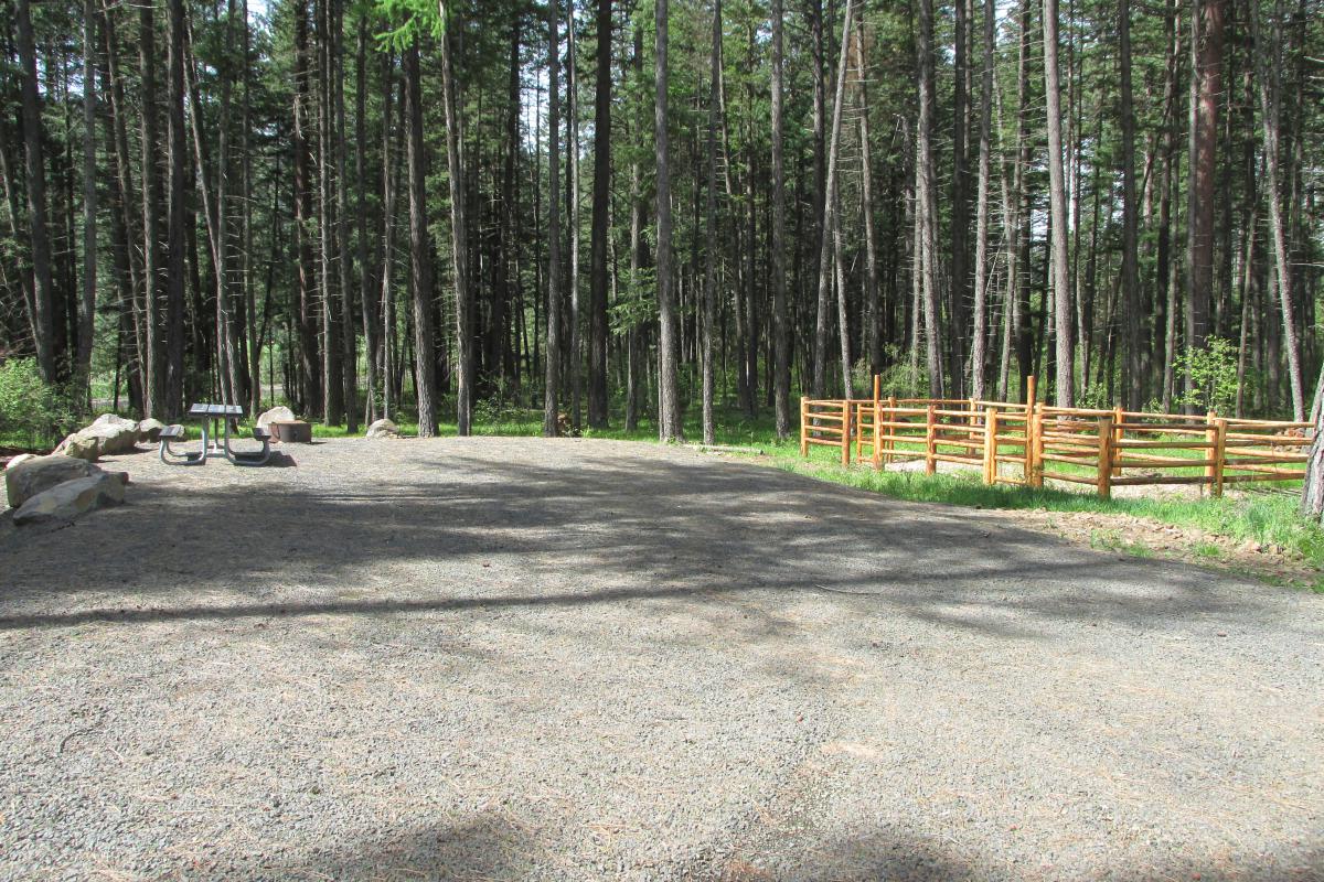
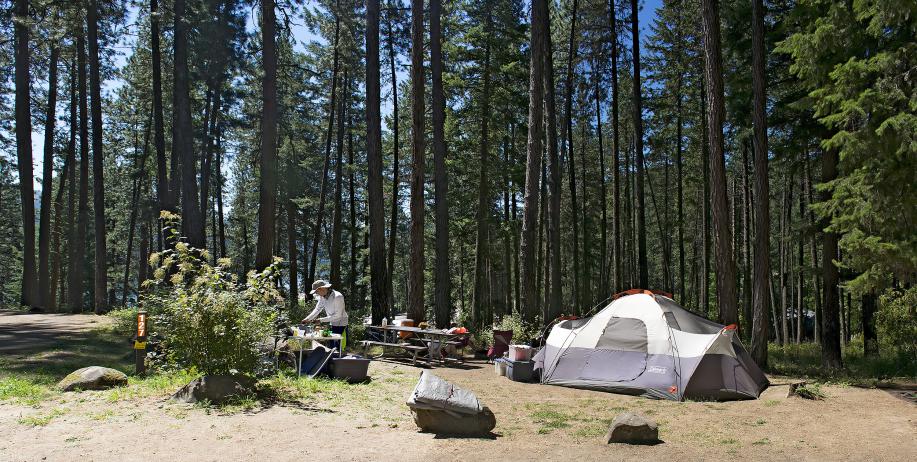
Campsites are available at the South Side and North Side Trailheads with paddocks for livestock, with South Side more developed, but neither location has potable water. Fees are posted at the self-pay station at each location.
Scout Out Loop begins at the South Side Trailhead parking lot and follows a level bench of Douglas Fir and Ponderosa pine before switch backing down into the Pee Dee Creek canyon. There it follows Pee Dee Creek downstream for about a quarter of a mile before climbing back to the bench and meandering back to the trailhead. As you climb out of the canyon you have good views of Chatcolet Lake and the Trail of the Coeur d’Alenes bridge. The Scout Out Loop takes approximately an hour to complete.
Gandy Dancer Loop – 4.2 miles (from trailhead), Loop: 3.5, Rating – Easy to Moderate
Follow the Scout Out Loop to Pee Dee Creek where you will cross the creek and the Pee Dee Creek road. You will then wind your way over the ridge through open Douglas fir timber to the Bill Morris road. There you can turn down the road for about two hundred yards where you will tie back into the trail crossing the road. You will cross a small stream and continue down the heavy timbered draw on an old road towards Highway 5. This is a moist North slope covered with Western Red Cedar, Douglas Fir, Grand Fir and a great place to find Trillium in the spring. Just above the highway you will travel under a railroad trestle that towers nearly 200 feet above the creek. There the trail turns and follows just above Highway 5 back to Pee Dee creek. Follow the Pee Dee Creek Rd back up the hill under yet another trestle to where the trail leaves the road and crosses Pee Dee Creek and continues back up the creek to the Scout Out Loop and back to the trailhead.
Rocky Top Loop – 5 miles (from trailhead), Loop: 3.2, Rating – Easy to Moderate
Begin at the trailhead and follow Scout Out and Gandy Dancer to the Bill Morris road. Rocky Top begins at the Bill Morris road and then circles a large bench between the Bill Morris road and Cottonwood Creek. Most of this trail is through open stands of large Ponderosa pines with awesome views of Chatcolet and Benewah lakes. During the spring and summer the open areas are a blanket of color. Wildflowers of all colors, Heartleaf Arnica, Arrowleaf Balsamroot, Coulter’s Lupine and many more spread their splendor under the spring time sun. Close your eyes and drink in the smells of early summer as you meander through the stately pines.
Ponderosa Ridge Loops – 7.4 miles (outer loop from trailhead), Outer loop: 4.1 miles, Inner loop: 2.0 miles – Rating – Moderate to Difficult
The Ponderosa Ridge loops also begin at the trail head. Follow the trails to about midway on the Rocky Top Loop where the Ponderosa loop will drop down and cross Cottonwood Creek and climbs back up the other side. This loop will take you through everything from damp North slopes blanketed with Cedar and Grand Fir to open Ponderosa ridges. It winds through several drainages before topping out on the ridge above Benewah Lake. Be sure to take your camera as there are many beautiful vistas from above the lakes. There are picnic tables at this view point. You may see deer, elk and the occasional bear. This loop will then drop down a series of switchbacks and cross Cottonwood Creek again before climbing back to the Rocky Top Loop.
Cedar Loop – miles – Rating – Moderate
Cedar Loop, unlike the others, begins at Rocky Point. The trail leaves Highway 5 at a point right across the highway from the wide spot at the upper Rocky Point Loop road. You can see the trail marker sigh just above the highway. The Cedar Loop climbs the hill above the Rocky Point Marina to a point where it ties in with the Rocky Top Loop trail. There is a picnic table at this junction and a great view of Chatcolet Lake and the Trail of the Coeur d’Alenes bridge. The trail then follows the Rocky Top Loop East for about a quarter of a mile before dropping back down to the starting point. This trail is hiking only.
General Accommodations
- Cabins
- RV Campsites
- Tent Campsites
General Information
Heyburn State Park Lease Agreements & Appraisals
The following reports include detailed information about lot appraisals within Heyburn State Park.
The intent is to establish fair market values of each leased site.
This is used to determine the annual rent of these lots. The property is within Heyburn State Park, in Benewah County, Idaho. There are 166 sites, of which, 23 are float home sites, 55 are primary frontage home sites and 88 are secondary home sites.
The table of contents includes, but is not limited to, aerial views, region & market area analysis, site descriptions, reconciliation, and limiting conditions.
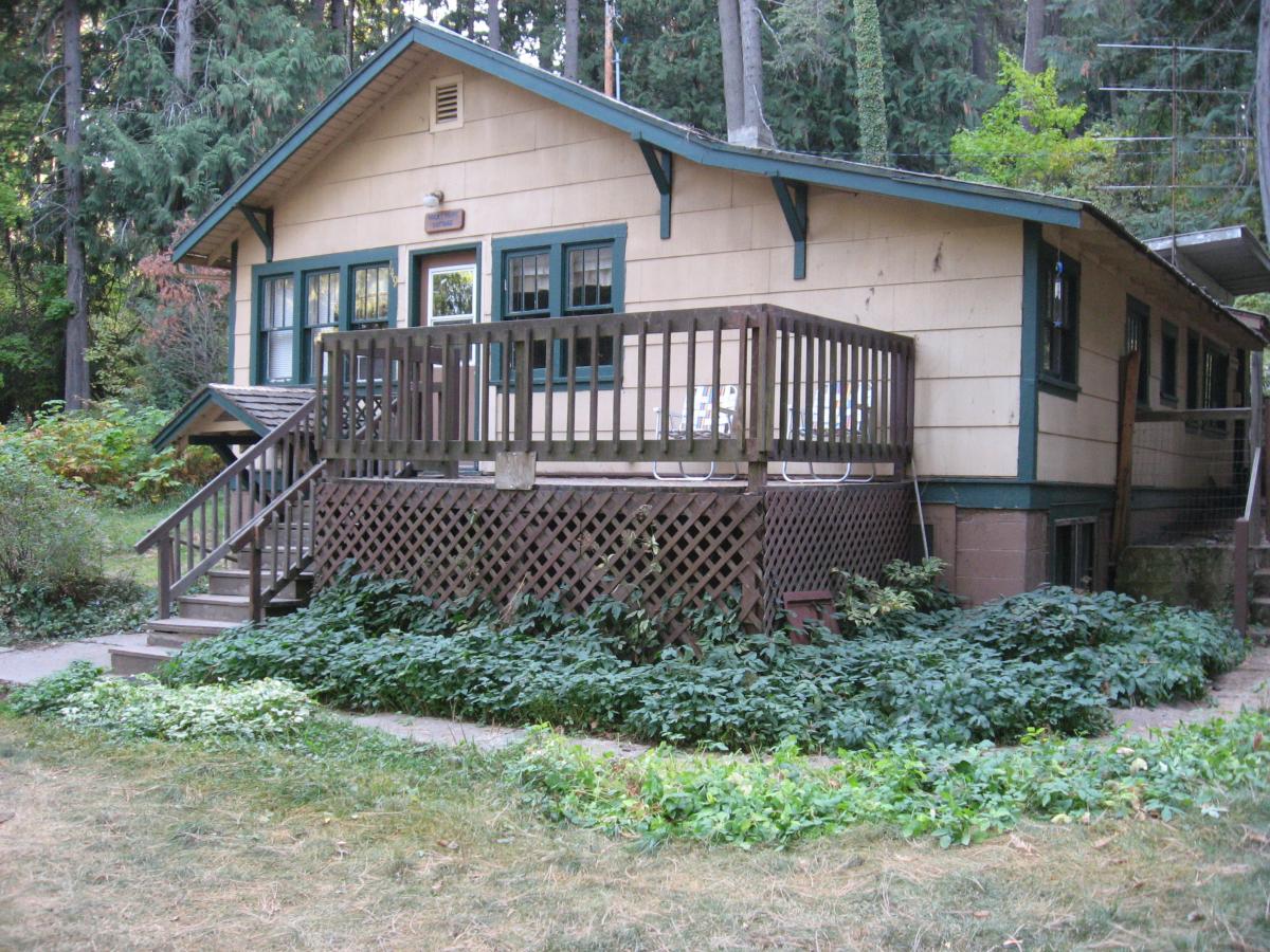
Lakeview and Rocky Point Cottages
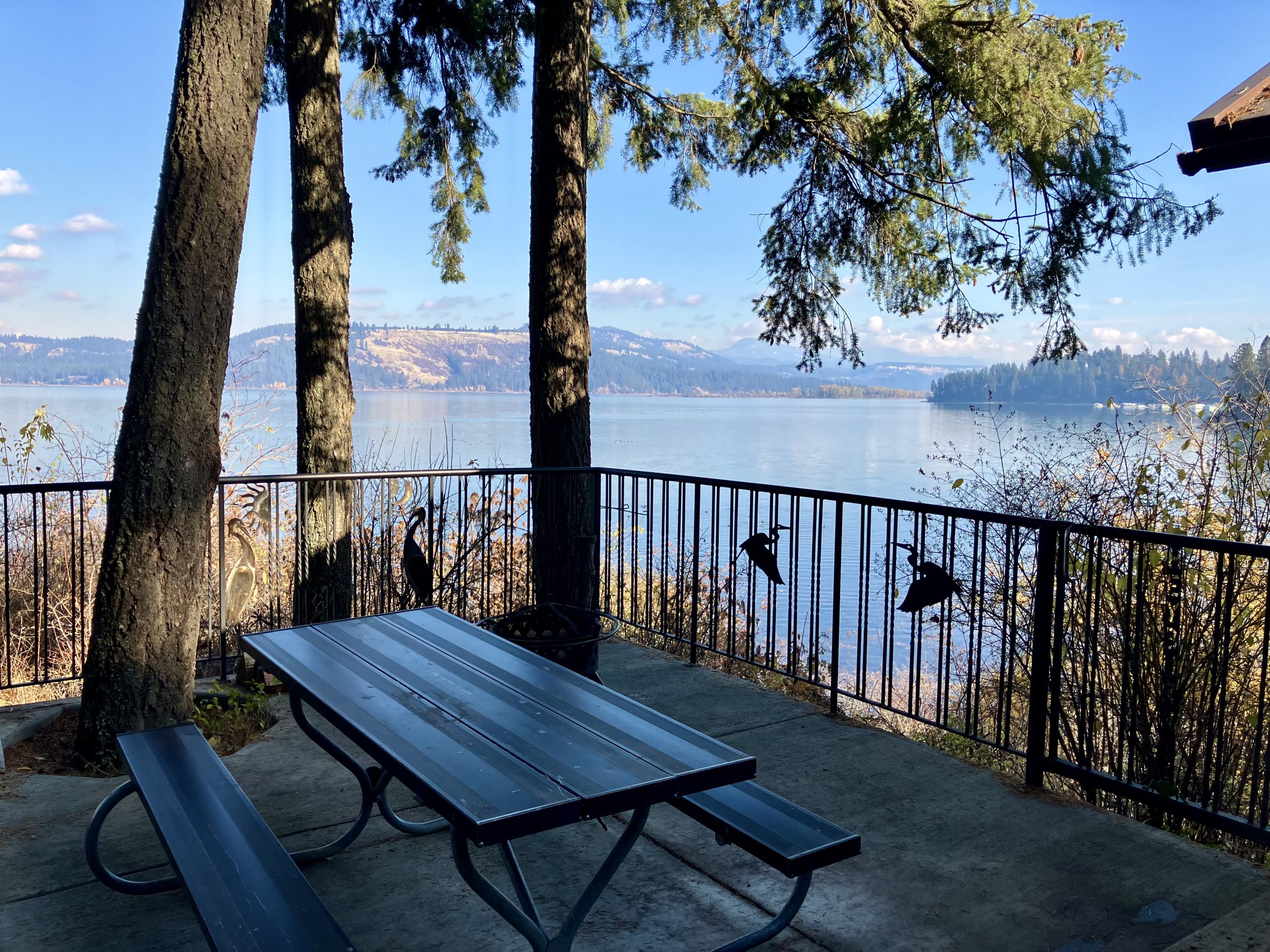
- Open year-round
- Each cottage has two bedrooms
- Sleeps up to eight per cottage
- Furnished kitchens with appliances, cooking utensils and tableware
- Features dining area, living room and furniture
- Outdoor charcoal grill and picnic table
- Visitors provide their own linens
(full size beds), blankets, pillows and towels.
Cost: $157-$222 Minimum 3 night stay on weekends and holidays
Rental Agreement
Click here to download the Cottage Rental Agreement
Submission instructions:
- Digitally fill and email to HEY@idpr.idaho.gov OR
- Print and mail to: Heyburn State Park | 57 Chatcolet Road | Plummer, ID 83851
Osprey and Blue Heron Cabins
- Available year-round
- Situated near the Trail of the Coeur d’Alenes
- Each cabin sleeps five
- Equipped with electricity, air conditioning and microwave
- Outdoor picnic table, fire pit and grill
- Near a central restroom and water faucet
- Overnight guests provide their own linens, cooking and kitchen utensils. The Osprey cabin is ADA accessible.
Cost: $87-$97
No additional seasonal information listed.


